The things that decide what a house here is likely to need: geology, water, flood exposure, housing eras, and environmental history.
Mill-era Victorian housing
Worker housing and multi-families built through the second half of the nineteenth century, converted and reconverted since. Layered roofing, slate on the better houses, fieldstone foundations, knob-and-tube remnants, undersized electrical services, enclosed porches, and bathrooms added onto original waste stacks are the standard vocabulary.
The Willimantic River
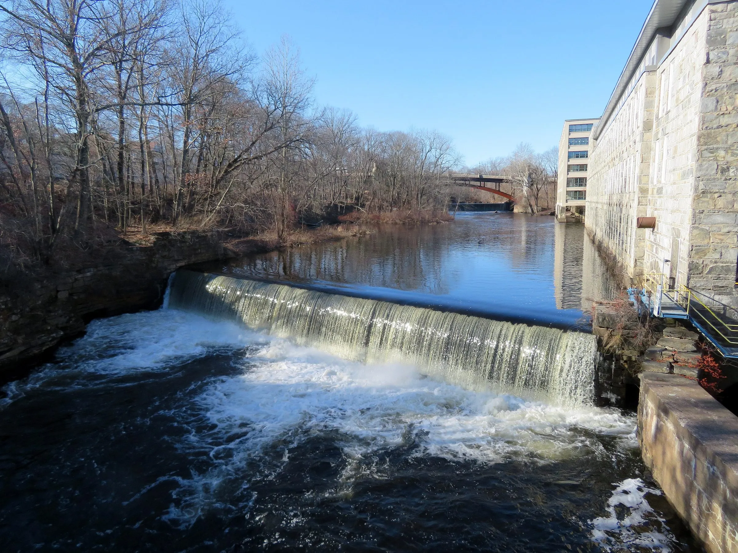
The river powered the mills and it still defines the low ground. Village housing sits close to the water by design, so FEMA mapping and basement moisture history are early questions on those streets. Current mapping is the authority for any specific address.
The eastern edge of the pyrrhotite region
Windham sits at the edge of the area affected by concrete aggregate containing pyrrhotite, the mineral behind Connecticut’s crumbling-foundation problem. Foundations poured roughly between the early 1980s and 2016 get a deliberate look here, with the same documentation any affected town warrants.
Radon: EPA Zone 2
Windham County is EPA Zone 2, moderate predicted potential, a county-wide average between 2 and 4 pCi/L. Eastern Highlands bedrock is variable and county averages conceal that variation, so testing rather than assuming is the right approach.
Wells, septic, and driveways outside the city
In the rural parts of the town, expect private water and private waste treatment, and expect the driveway to matter. Access, surface, drainage, and culverts are part of the property and part of the report.
Rental conversions and multi-family stock
A university town with a large stock of converted multi-families means many buildings have been adapted repeatedly. Unit separation, egress, individual utilities, and the quality of the work that created each unit are all central to the inspection.