The standard scope is the same everywhere. What shifts is where the attention goes.
The Naugatuck Valley and the flood of 1955
In August 1955 two hurricanes, Connie and Diane, arrived days apart over already-saturated ground, and the resulting flood remains the worst natural disaster in Connecticut history. It rewrote the valley from Torrington down to Derby. The U.S. Army Corps of Engineers built the levees, floodwalls, and upstream dams that protect Waterbury, Ansonia, and Derby today, and those structures are a live part of any inspection conversation in the valley.
Traprock ridges and ledge
The basalt ridges that define the skyline here also define the lots beneath them. Shallow ledge limits foundation depth and leach-field placement, redirects groundwater in ways that show up in basements, and made blasting a normal part of building on the slopes of Hamden, Wallingford, and Waterbury.
A large pre-1940 multi-family stock
New Haven, Waterbury, Derby, and Ansonia hold thousands of two- and three-family houses built between roughly 1890 and 1930. They are the backbone of the county's rental market and its most common first purchase. Original wiring, aging boilers, lead paint, layered roofs, and generations of unit conversions are common, and all are worth finding before closing.
A long shoreline
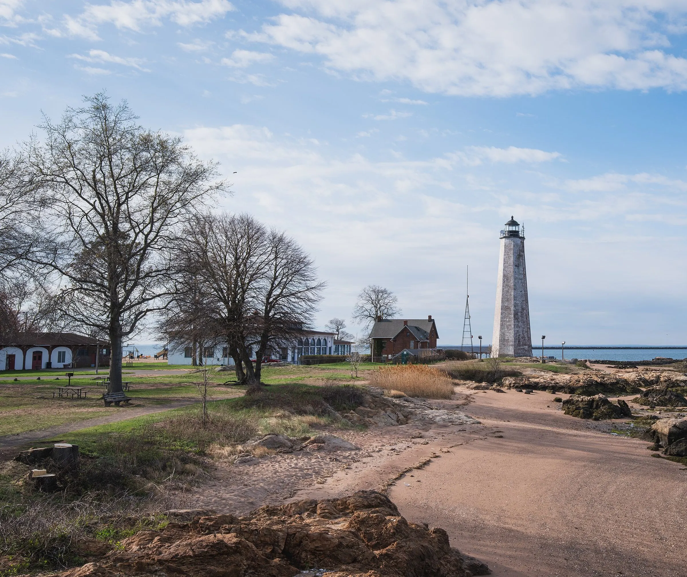
From Milford east through Guilford the county fronts Long Island Sound, with FEMA AE and VE zones, post-Sandy elevated homes, salt-air corrosion on outdoor mechanicals, and a large number of former summer cottages now lived in year round.
Radon: EPA Zone 1
The EPA places New Haven County in Zone 1, its highest-potential category, a predicted county average above 4 pCi/L. That prediction covers a county containing both sedimentary lowlands and hard highland bedrock, so the only way to know a particular house is to test it.