The things that decide what a house here is likely to need: geology, water, flood exposure, housing eras, and environmental history.
The Little River, Eightmile Brook, and their tributaries
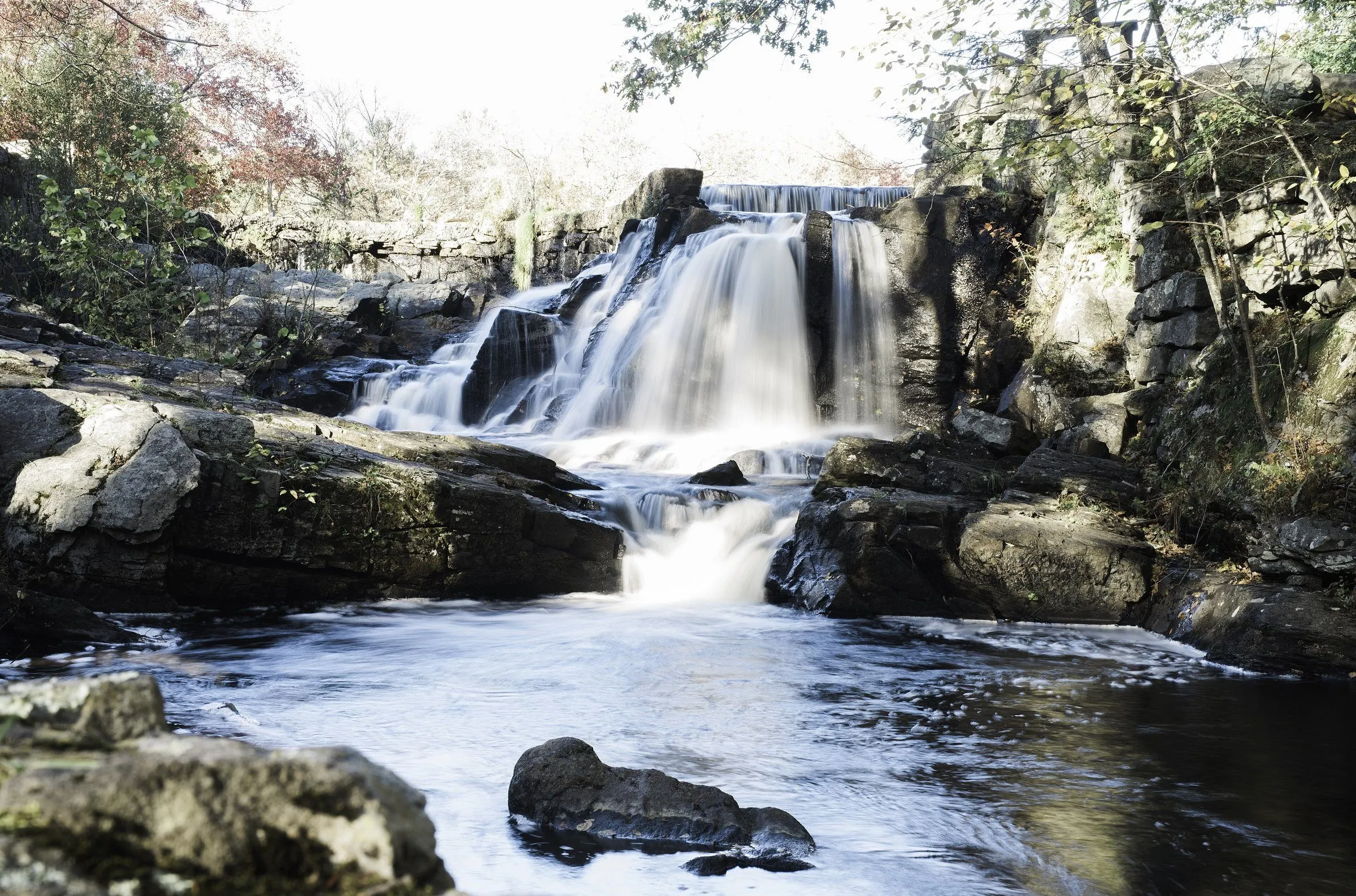
Oxford is drained by an unusual number of named watercourses for its size, Eightmile Brook, Fourmile Brook, Fivemile Brook, the Little River, Towantic Brook, Riggs Street Brook, and Jack's Brook, and the town's own hazard mitigation plan names the roads with structures inside the 1% annual chance floodplain: O'Neil Road, Pope Road, and Route 188 along Eightmile Brook; Governors Hill Road, Hogs Back Road, Old State Road, Route 67, Seth Den Road, Woodside Avenue, and Wyant Road along the Little River; Academy Road and Riggs Street along Riggs Street Brook; and Route 42 along Towantic Brook. On 18 August 2024, rainfall measured up to sixteen inches in this part of the valley, the Little River took out a bridge and a house, and Route 67 closed. It is a real pattern, not a theoretical one.
The Housatonic below Stevenson Dam
Route 34, Roosevelt Drive, runs along the Housatonic downstream of Stevenson Dam. Every one of the federally listed repetitive-loss properties in Oxford sits on that stretch, inside the floodway, and the Oxford Fire Department is the body that warns residents there when controlled releases are coming. Buying along the river is perfectly reasonable. Buying there without knowing the flood elevation and the insurance position is not.
Glacial till over hard bedrock
Oxford sits on gneiss, schist, and granite, covered mostly by glacial till, an unsorted mix of clay, silt, sand, gravel, and boulders, generally under fifty feet thick and deeper on the hillier ground. Till does not drain like sand does. Combined with sloped lots, that is the mechanism behind most of the wet-basement findings in town. Stratified sand and gravel deposits follow the Housatonic and the brooks, which is where the aquifers are.
Wells and septic as the default
Public water reaches parts of Oxford through the Heritage Village Water Company in the north and center and Aquarion in small pockets to the southeast and southwest, and there is no expectation of major expansion. Sewage from the served areas goes to Naugatuck or Seymour for treatment. Everywhere else, which is most of the town, the house has its own well and its own leach field, and both are the buyer to inherit.
Radon in a Zone 1 county
Oxford sits in New Haven County, which the EPA places in Zone 1, its highest-potential category. That is a county-wide prediction, and Oxford straddles the boundary between two geologies, so the honest answer for any specific house on any specific street is that it has to be tested.
Young housing, aging first systems
A great deal of Oxford was built between the mid-1990s and the late 2000s. Those houses are now at the age where the original roof, the first water heater, the first heat pump, the deck, and the windows all come due at roughly the same time. That is a predictable, budgetable set of findings, but it is much better known before closing than after.