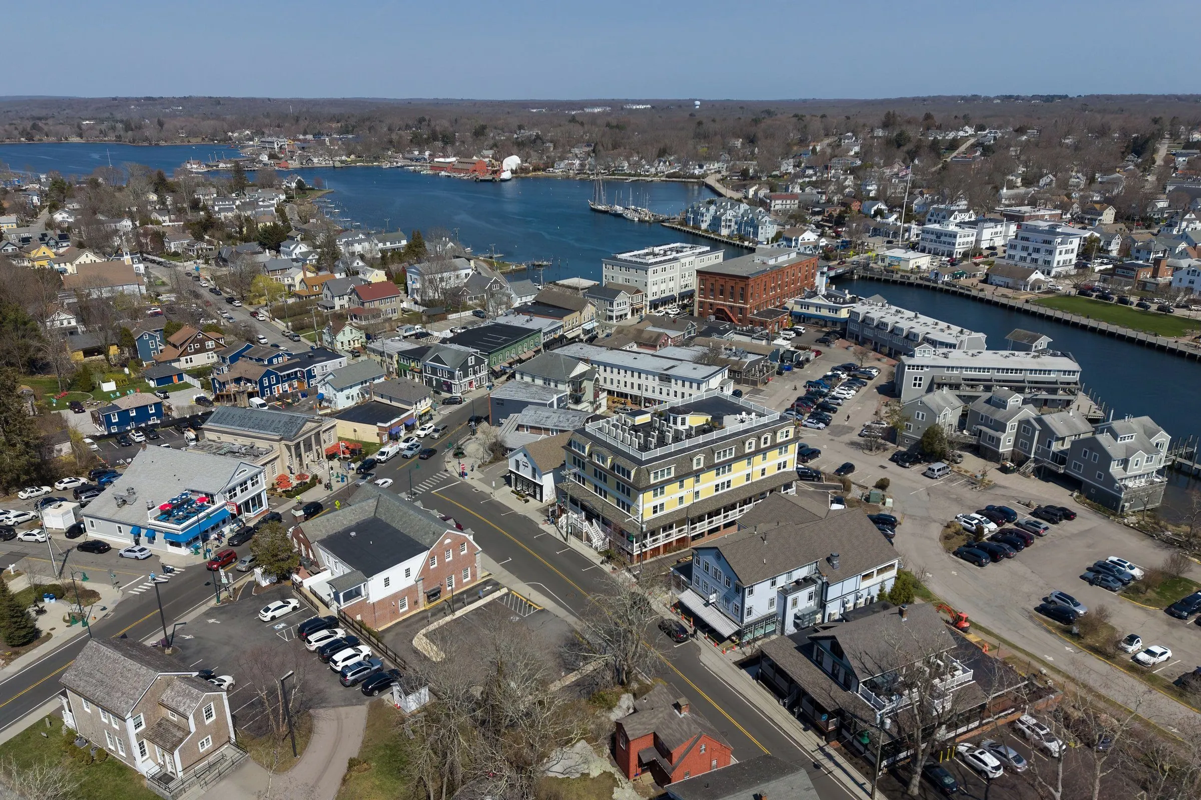
The things that decide what a house here is likely to need: geology, water, flood exposure, housing eras, and environmental history.
Sandy glacial outwash and a high water table
Much of Groton sits on sand and gravel left by glacial meltwater. It drains quickly, which is useful, and near the shore it carries a high water table. The characteristic result is not a flooded basement but a persistently damp crawlspace, with the insulation, framing, and air-quality consequences that follow from that.
Coastal flood exposure and hurricane history
The 1938 hurricane and Hurricane Carol in 1954 both struck this coast hard, and Sandy renewed the point in 2012. Shoreline neighborhoods carry FEMA zone requirements covering elevation, flood venting, and where mechanicals sit. Current mapping is address-specific and worth establishing early.
The Poquonnock River
The Poquonnock and the low ground around it have a flood history separate from the coastal question. Inland flooding and coastal flooding are different problems with different answers, and a property can be exposed to one without the other.
Mid-century workforce housing
Capes and ranches built quickly and honestly for a growing workforce, now seventy-odd years old. Original electrical services, cast-iron waste lines, single-pane windows, oil tanks, and heating plants on their second or third replacement are the recurring findings, all ordinary for the era, all worth documenting.
Salt air on the shoreline
Within a few streets of the water, corrosion works steadily on condensers, heat pumps, fasteners, railings, deck hardware, and flashing. Whether past replacements used marine-grade materials is worth establishing.
Radon: EPA Zone 1
New London County is EPA Zone 1, the EPA’s highest-potential category, on a predicted county average above 4 pCi/L. Granite bedrock underlies the outwash across much of the county, which is a good reason to test rather than estimate.